Equipment

Equipment for Environmentally Based Surveys with DJI Drones
When it comes to conducting environmentally focused surveys, having reliable and efficient equipment is paramount. At our company, we utilize a range of DJI drones, renowned for their performance, stability, and advanced features tailored for environmental monitoring and surveying tasks. Here’s an overview of the equipment we employ:
Phantom 4 Pro V2.0
- With its high-resolution camera and advanced obstacle avoidance technology, the Phantom 4 Pro V2.0 is ideal for capturing detailed aerial imagery for environmental assessments.
- Equipped with a 20-megapixel 1-inch CMOS sensor capable of shooting 4K video at 60fps, it delivers crisp, clear imagery essential for accurate data analysis.
- Its FlightAutonomy system with five-directional obstacle sensing ensures safe and precise flight, even in challenging terrain.
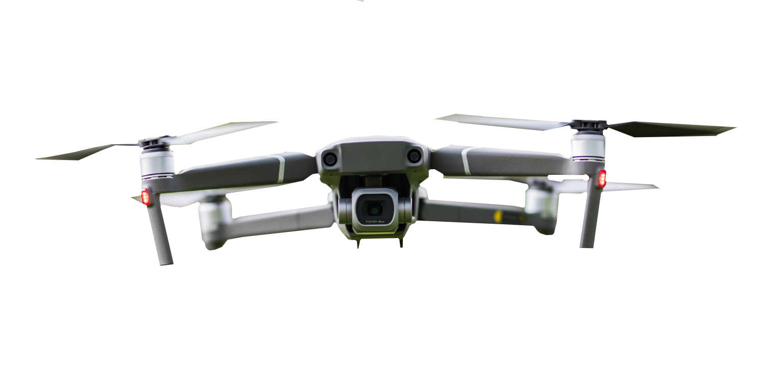
Mavic 2 Pro
- The Mavic 2 Pro offers a perfect balance of portability and performance, making it an excellent choice for on-the-go environmental surveys.
- Featuring a Hasselblad camera with a 1-inch CMOS sensor, it captures stunning 20-megapixel aerial photos and 4K video with exceptional color accuracy.
- Its compact design and foldable arms enable easy transportation and quick deployment, essential for covering extensive survey areas efficiently.
Matrice 300 RTK:
- For more complex environmental monitoring tasks requiring longer flight times and precise data collection, we rely on the DJI Matrice 300 RTK.
- This professional-grade drone is equipped with a triple-channel RTK system for centimeter-level accuracy in positioning, crucial for detailed mapping and analysis.
- With its ability to carry multiple payloads simultaneously, including thermal cameras and multispectral sensors, the Matrice 300 RTK offers unparalleled flexibility for various environmental survey applications.
Terra Software:
- In conjunction with our DJI drones, we utilize DJI Terra, a powerful mapping and modeling software designed for aerial surveying and data analysis.
- DJI Terra enables us to generate high-resolution 2D maps and 3D models from drone-captured imagery, facilitating comprehensive environmental assessments and monitoring.
- Its suite of tools for automated flight planning, real-time mapping, and data processing streamlines our workflow, ensuring efficient and accurate survey results.
Accessories and Additional Equipment:
- To enhance the capabilities and versatility of our DJI drones, we utilize a range of accessories such as extra batteries, propellers, and ND filters.
- We also employ specialized equipment like ground control points (GCPs) and surveying tools to ensure geospatial accuracy and consistency in our environmental survey data.
At Environmental Drone Surveys, we are committed to leveraging the latest technology, including DJI drones and accompanying equipment, to conduct environmentally based surveys with precision, efficiency, and minimal environmental impact.


About
Envirodronesurveys
Address

Contact
Email: info@envirodronesurveys.co.uk
Phone: 07968988547

